Update: Red-level severe thunderstorm watch issued for Mississauga
Residents are urged to prepare for potentially dangerous weather this afternoon and evening as Environment and Climate Change Canada issues a red-level Severe Thunderstorm Watch for Mississauga.
Emergency and public safety | September 2, 2026
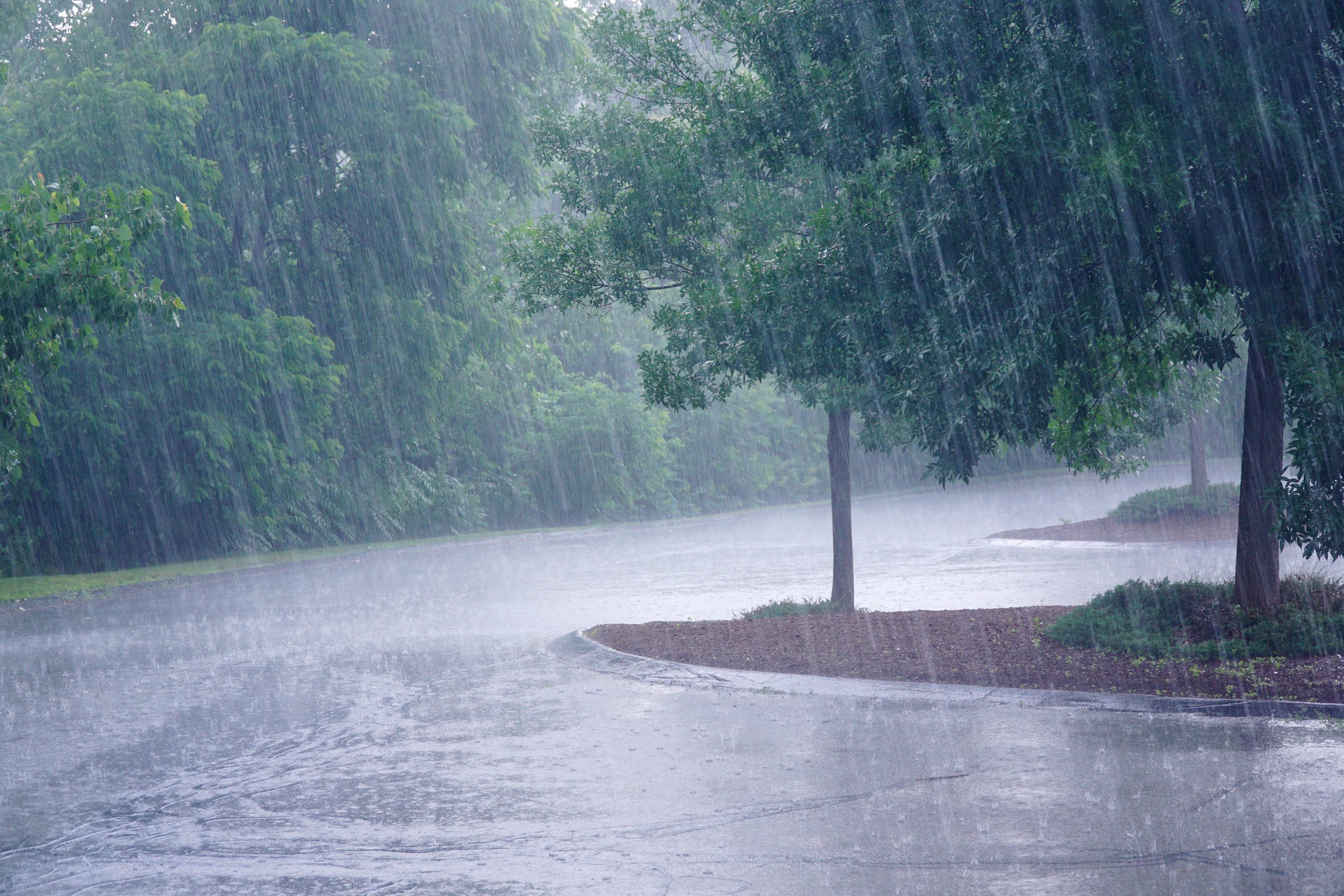
Environment and Climate Change Canada is warning that conditions are favourable for the development of severe thunderstorms capable of producing damaging winds, large hail, torrential rainfall and possible tornadoes.
The weather system is expected to develop this afternoon and continue into the evening bringing a risk of damaging wind gusts, hail, and heavy rain. Forecast confidence is high, and residents are encouraged to stay informed and be prepared to take shelter if conditions deteriorate.
Flooding and rising water levels possible
In addition to the severe thunderstorm watch, the Toronto and Region Conservation Authority (TRCA) and Credit Valley Conservation (CVC) have issued flood watch notices.
Heavy rainfall may cause water levels to rise quickly in rivers, streams, creeks and stormwater systems. Residents are encouraged to stay away from shorelines, waterways and other areas where conditions may become dangerous.
Reminders
Periods of heavier rain may lead to higher water levels across the city. For safety, residents are urged to:
- Stay away from rivers, creeks, stormwater ponds and Lake Ontario.
- Avoid low-lying areas that may flood quickly.
- Watch for washouts near culverts and bridges.
Driving and outdoor safety
Wet weather can create hazardous conditions. Residents are reminded to:
- Allow extra travel time.
- Slow down and leave space between vehicles.
- Drive according to road and weather conditions.
- Avoid driving through flooded roads or pooled water.
- Turn around if routes are not safe.
Pedestrians and cyclists should take extra care. Wet surfaces may be slippery and visibility may be reduced.
Fallen trees
To report a fallen or unsafe tree:
- Call 311(905-615-4311 outside city limits).
- For after-hours emergencies, call 905-615-3000.
- If a tree contacts power lines, contact Alectra at 905-273-9050.
How residents can prepare
Small steps can help reduce risk:
- Clear debris from storm drains near your home.
- Check downspouts and direct water away from foundations.
- Secure loose outdoor items.
- Prepare an emergency kit in case of power outage.
City response
The City of Mississauga is monitoring weather conditions and local waterways.
City crews will monitor storm drains and respond to flooding or water pooling. Residents can report issues online or by calling 311 (or 905-615-4311 from outside city limits). The City’s Office of Emergency Management continues to work with conservation authority partners.
Understanding weather alert colours
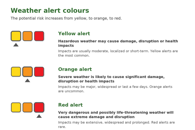
Environment and Climate Change Canada uses colour-coded weather alerts to help people quickly understand the level of risk. The potential risk increases from yellow, to orange, to red.
What is a flood watch or warning?
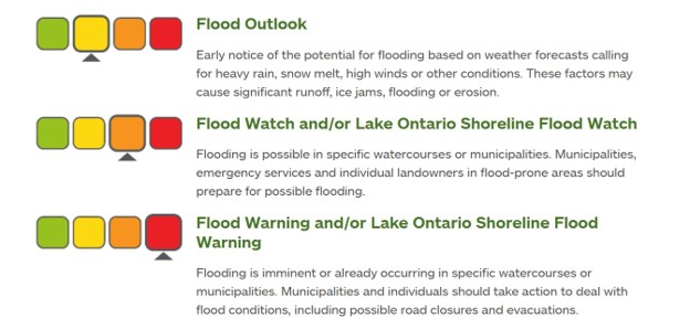
- Flood outlook: Early notice of the potential for flooding.
- Flood watch: Flooding may happen in certain areas.
- Flood warning: Flooding is happening or will happen soon.
If a flood warning has been issued, act immediately to protect yourself from danger and your home from flood damage.
Stay informed
Weather conditions can change quickly. Residents are encouraged to:
- Check local forecasts, including the Weather Networkor WeatherCAN app from Environment and Climate Change Canada.
- Follow @citymississauga, @saugaparksrec, @CVC_CAand @TRCA_HQ on X.
- Visit the City of Mississauga Newsroomfor updates.
- For flooding concerns, call 311.
Tags
Media contact
City of Mississauga Media Relations
media@mississauga.ca
905-615-3200, ext. 5232
TTY: 905-896-5151
Get email updates