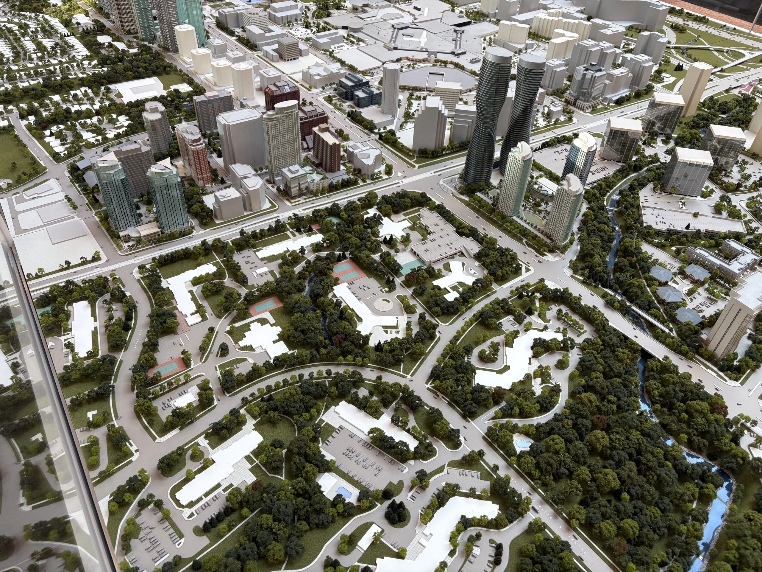
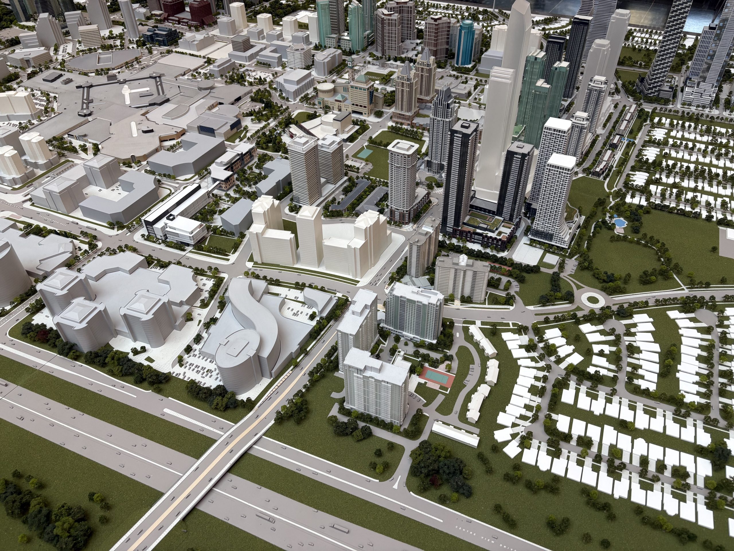
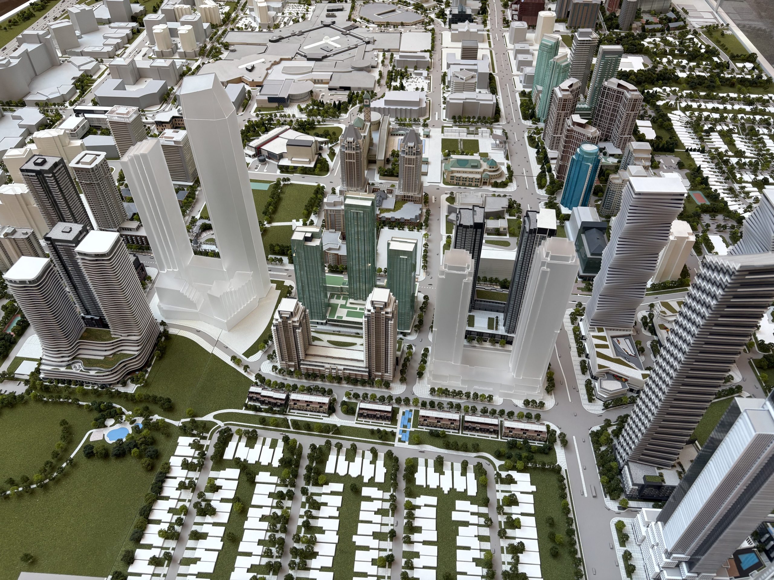
The model exhibit of downtown Mississauga
The Downtown Model, a three-dimensional (3D) installation of current buildings, parks, roads, transit lines and planned future facilities in Mississauga’s downtown, is located at Mississauga’s Civic Centre at 300 City Centre Drive.
Imagining the future of our downtown
It’s hard to believe that Mississauga’s downtown was once (not that long ago) mostly open fields with only a scattering of homes and businesses. In fact, Mississauga grew up without an “official” downtown.
So, in the early 1990s, City Council decided to plan a downtown—from scratch! Council wanted Mississauga’s downtown to be a place with lively, pedestrian-friendly streets, parks and open spaces and opportunities to work close to home.
About the model
The Downtown Model is constructed at scale of 1:500 (500 times smaller than the real buildings). The beige and grey plastic building blocks are placeholders to show potential developments or proposed buildings.
When new development is approved by the City, the developer or landowner removes the placeholder building, constructs a new model of building and installs it on the model base.
The new building model uses materials, colour, and architectural details like windows, roof features, and landscaping to make it look like the real-life building.
The model also includes new parks, public spaces and community amenities.
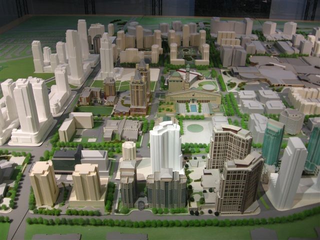
In 1989, the original model was unveiled to help residents imagine the future of our downtown and track its development.
Mayor Carolyn Parrish moved the model from its previous home on the fourth floor of the Civic Centre to its new location in the Great Hall in November 2024.
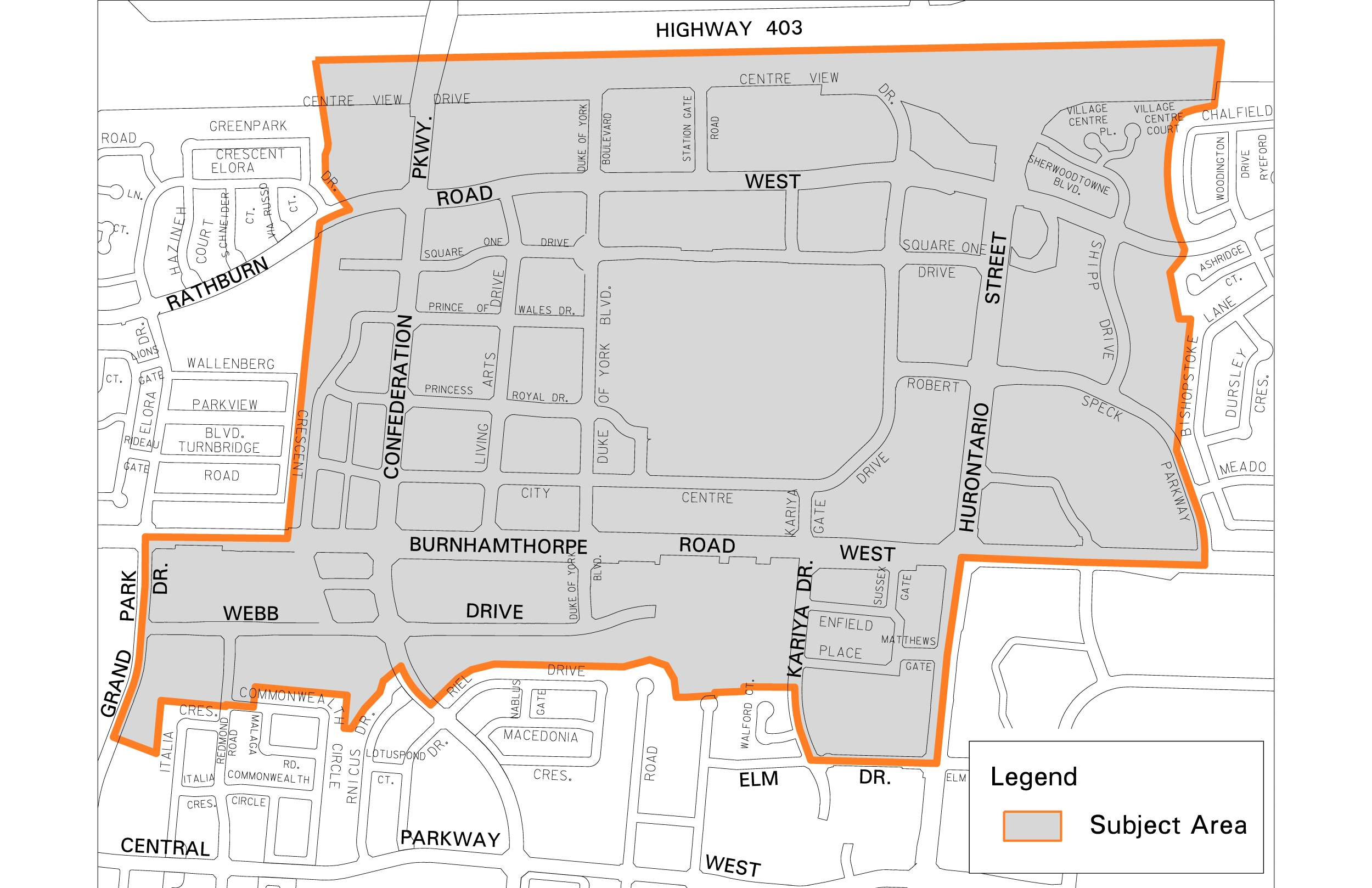
The Downtown Core has boundaries and guidelines
As of 2001, the Downtown Core generally has no height or density limits. Buildings can be as many storeys as the builder desires, provided they are consistent with the City’s design standards and guidelines. This is meant to incentivize growth and establish the downtown as the heart of the city and top of its urban hierarchy.
The Hazel McCallion Line (Hurontario Light Rail Transit (LRT))
Soon, a train will run through the Downtown Core. The LRT will run 18 kilometres along Hurontario from Port Credit GO Station to Steeles Avenue in Brampton.
The City has long made the case that there needs to be a transit loop around the Downtown Core to help move the thousands of people who will live and work here. The Ontario government has supported this request.
Fun facts
- The Downtown Core is currently home to approximately 36,000 people and 58 towers (over four storeys tall).
- By 2031, there is projected to be 85 towers and by 2051, approximately 100 towers and 89,000 people.
- There are over 1,150 businesses located downtown employing more than 23,500 people.
- Square One opened in 1973. It continues to be the largest mall in Ontario, a shopping and tourism destination.
- Mississauga’s Civic Centre opened in 1987. The Clock Tower is 26 storeys tall and used to be the tallest building in the downtown core. Today, it is dwarfed by much taller buildings, including the 89 storey MCity tower on the corner of Confederation Parkway and Burnhamthorpe Road.
Want to dig deeper?
- Read Downtown21 to learn how the city began the transformation from suburban car-oriented centre into a vibrant and walkable downtown.
- Read chapter 12 of Mississauga’s Official Plan 2051 for more about the downtown plan.