Overview
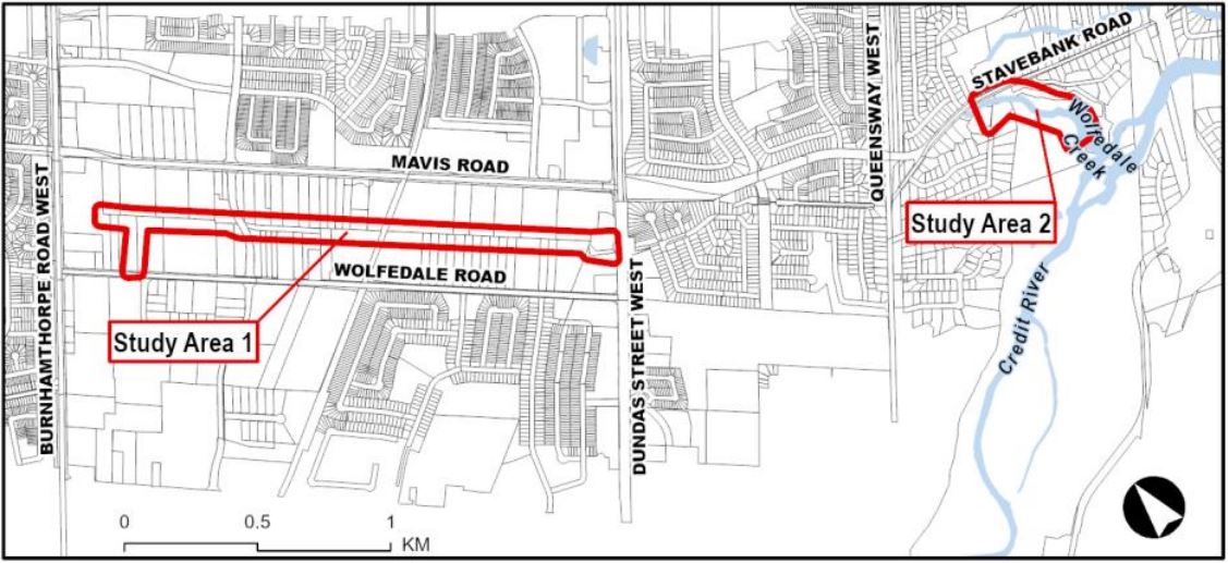
The study area spans approximately 2,300 metres from Burnhamthorpe Road West to Dundas Street West, in addition to the tributary outlet to the Credit River south of Queensway and west of the southern part of Stavebank Road.
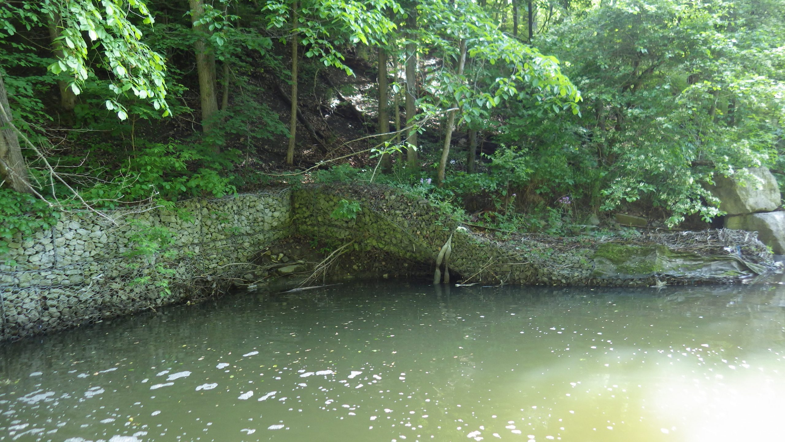
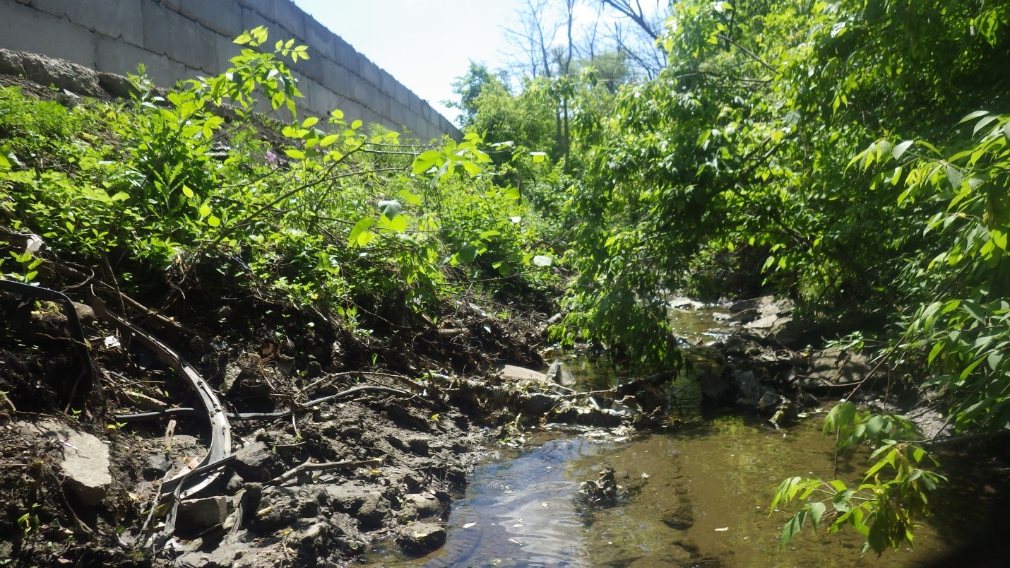
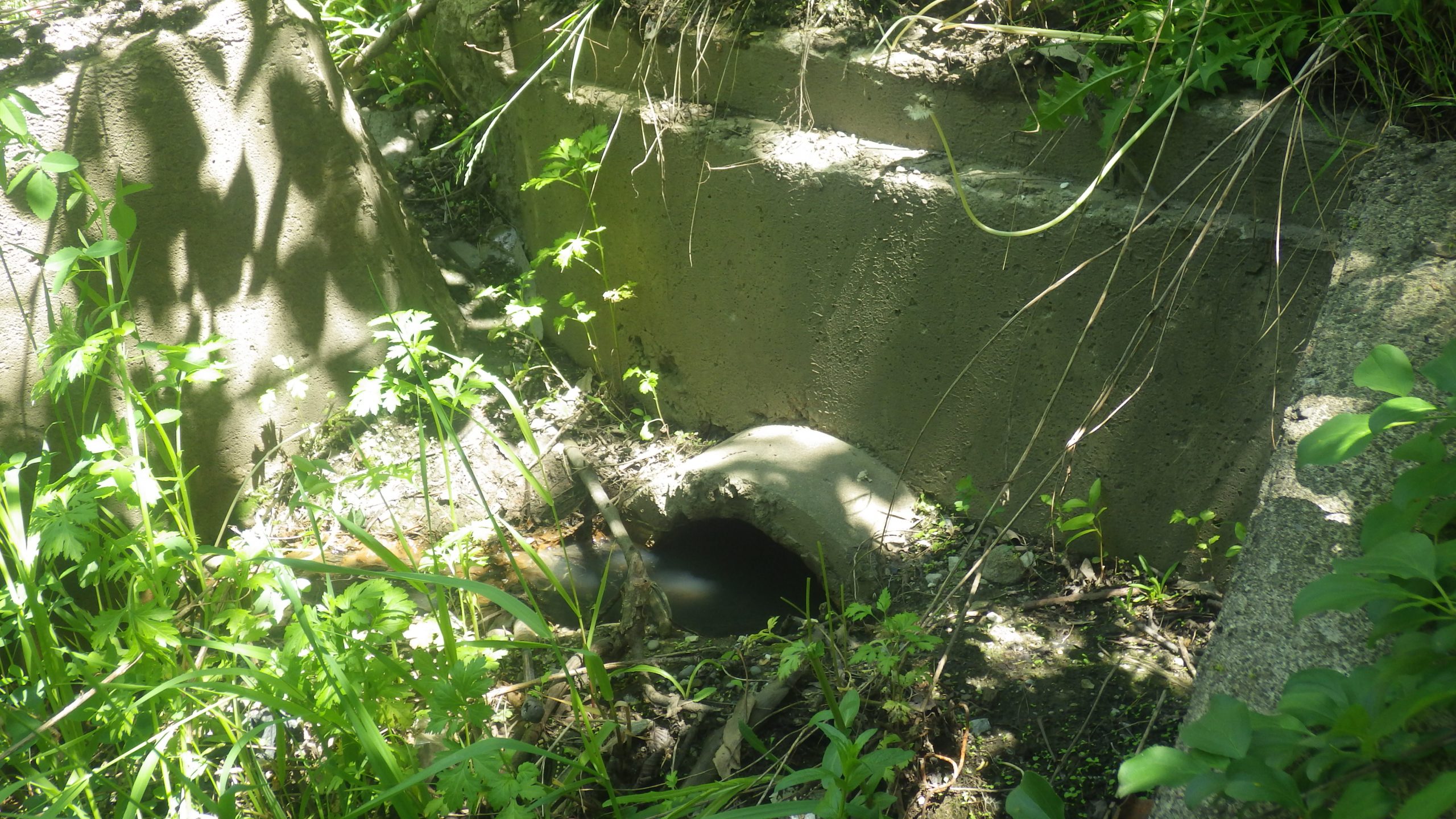
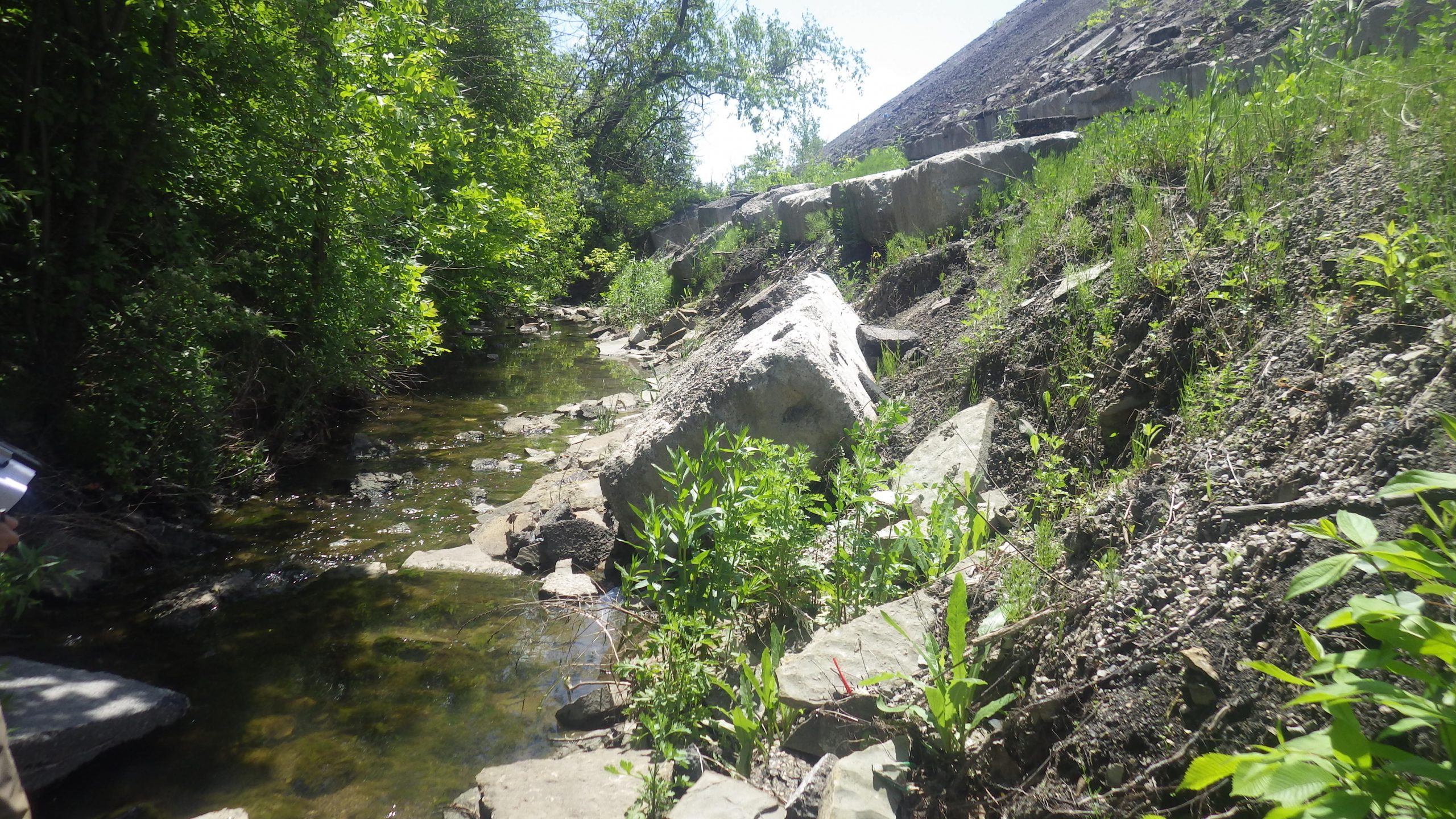
The study area consists of a channelized creek with:
- Stacked and single-layered gabion baskets
- Rock rip-rap
- Concrete drop structures
- Armourstones
The majority of the channel was originally constructed approximately 40 to 50 years ago, and rehabilitation was completed over the years for certain segments.
The City determined these segments require rehabilitation through its ongoing erosion monitoring program.
Objective
This project aims to:
- Mitigate the existing erosion problems
- Ensure stability of the creek using natural design techniques where feasible
- Protect or enhance the existing natural environment within the area
Benefits
- Provides long-term erosion protection along the creek banks
- Increases safety and protects nearby infrastructure and property
- Improves the environmental health of the creek while enhancing aquatic habitat and vegetation
- Presents opportunities for planting of native species, and enhanced wildlife habitat where feasible
Public engagement
Online Public Information Centre
The City held an online Public Information Centre (PIC) for the project in June 2024. Through the PIC, the project team presented the alternative solutions and the preliminary recommended solution identified for Wolfedale Creek to the public for review. The PIC materials are available within the project documents.
Project File
A Project File Report has been prepared to document the planning, decision-making and consultation process for this study. The Project File Report is available to the public for review for a 40-day comment period starting December 19, 2024, to January 27, 2025. The Project File Report is available in the following project documents.