

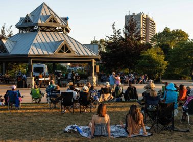
Park events
Events at City parks
Search for events and activities at a park near you.
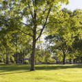
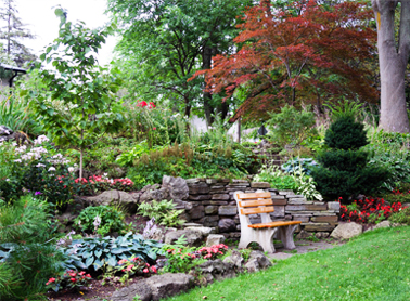
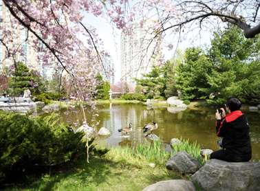
There are over 500 parks to explore in Mississauga. From small green spaces to large destination parks, each park offers a unique experience and ways to stay active outdoors.

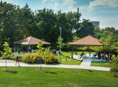
The City is adding new spray pads to three parks and construction will start in August 2021.
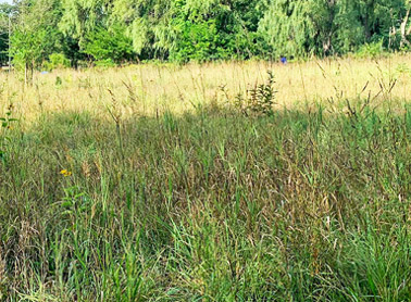
Restoring the woodland in Mary Fix Park to make sure it remains a functioning forest ecosystem.
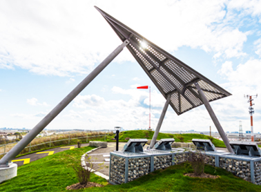
Transforming the west bank of Port Credit Harbour into a new waterfront destination with multi-use space, green space, naturalization and a water's edge promenade.